Due to torrential rains this past rain which lead to some serious flooding, the trail at Lost Valley is closed until further notice.
On Sunday afternoon, I was in the mood for a hiking adventure. Out next two weekends are kind of busy, and I was afraid we would miss that "good weather" window for hiking. Mark had some church obligations at home, and Joshua needed a nap. The other two seemed content being at home. So I asked Maria to join me. Down the road we went...
We went to a waterfall I will blog about soon but it was a very short hike. So we headed over to Lost Valley. Lost Valley is right outside of Ponca near the Buffalo River. It is a 2 mile trail. I would rate it moderate. We went a year ago, and had I blogged about it the past few months, I would have listed it as easy. Apparently in all of the excitement, I had forgotten certain things like the gazillion steps you walk up to get to some of the higher points...
 The start of the trail is very easy and stroller friendly (if you need that). It is a wide path and fairly flat.
 I was so happy to see how green everything was. I was getting a little distressed on our recent hikes...there hasn't been much green. Apparently our heavy rains in the last week helped a lot. It was like the world came alive. I needed that this weekend.
 The first part of the trail is like I said...fairly flat and wide. It is like a beautiful stroll in the woods. We did constantly watch for snakes since I have seen more than one picture of a copperhead hanging out in Lost Valley. Thankfully, we didn't see any.
 One thing we did see...butterflies. They were everywhere. We counted them for a while but lost count eventually. There were a lot of these (I know no butterfly names) plus some other kinds. I think God knew my heart needed that too...butterflies always lift my spirit.
 The creek wasn't as full as I thought it would be with our recent rains, but there was some water flowing.
 This is the point we picked up the pace...we started "climbing" on rock steps from this point on. I still feel it in my thighs...
We decided to check out "Natural Bridge" first which was just right off this path.
 I have to admit, I never see a natural bridge. I just see this "waterfall" which is actually one part of a waterfall...it is like it is in phases.
 Okay, maybe this is the "natural bridge".
 I really wish I knew more about flowers. These were so pretty and not a flower I typically see on hikes.
 Beautiful. It was all just beautiful.
 There is the middle section of the water fall. It is rather high and was flowing well.
 Here is a look at the waterfall from above. At this point, we were climbing the steps to the cave. Part of the waterfall is actually INSIDE the cave. I went in there last time but didn't this time. It is a TIGHT squeeze (think "commando crawl") and very dark. So even being in there, I could hear the waterfall but couldn't really see it. We just climbed to the entrance this time which is a hike in itself. If there is any dangerous part at all, this is it. It is a fairly narrow climb up. I know people have fallen but I think there was horseplay involved...
 On our way back down, we had to stop by the waterfall one more time.
 Just think green...
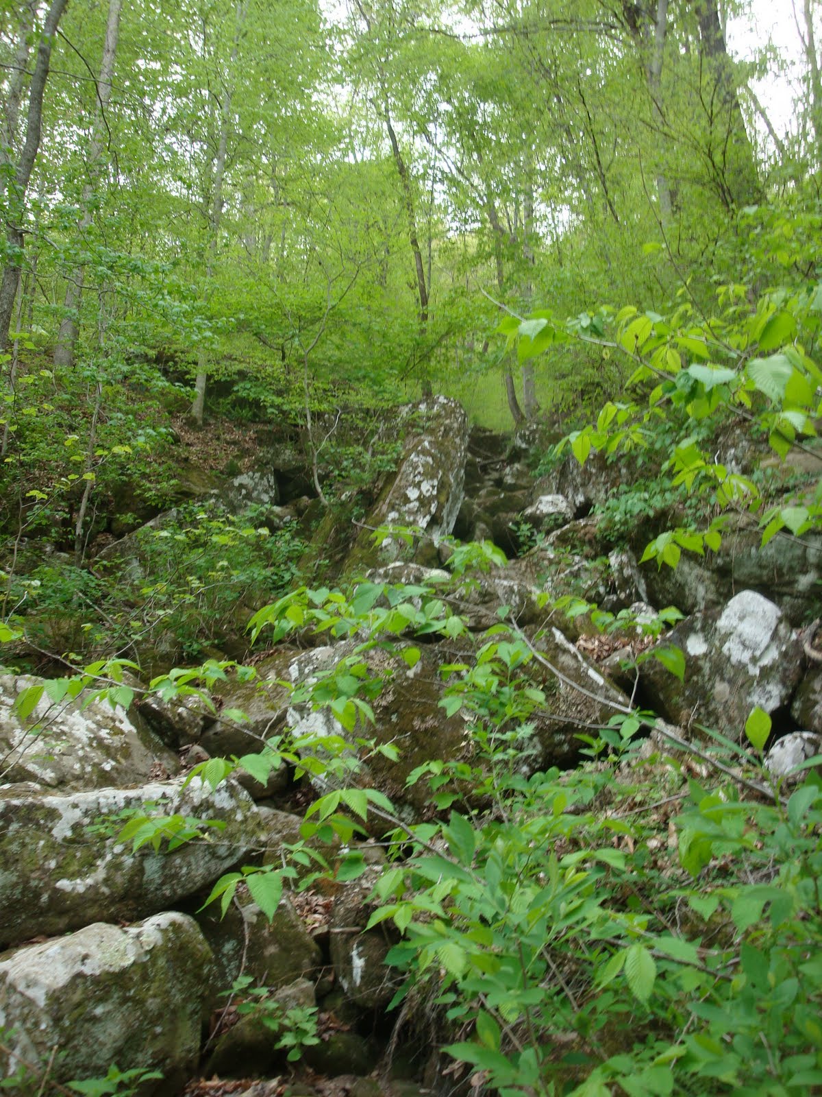
 I almost stepped on this "green leaf" which turned out to be a moth.
 This trail loops. It is shaped like a needle. The first part of the path "in" is also the path out. But partway in, you loop around until you are back at that main path heading out. Make sense?
 Saw these feathers on our way out. I don't think this bird had a happy ending but the feathers were beautiful.
 It really is a neat hike. Other than some climbing (walking up numerous steps) and that one danger area by the cave, it is a very family friendly hike. I recommend it for beginner hikers (in good shape :).
A bonus? If you leave the trail close to sunset, you might catch a glimpse of the elk that live in the area. They are a popular tourist sight.
Happy hiking!
Reba


